Cloud Maps of New Zealand & the Tasman Sea
(Last photo: 04Sp1731 Date and time are at Greenwich.)
 | 03Sp2331 | |||
| 04Sp0531 |  | |||
| 04Sp1131 |  | 04Sp1731 |  |
|
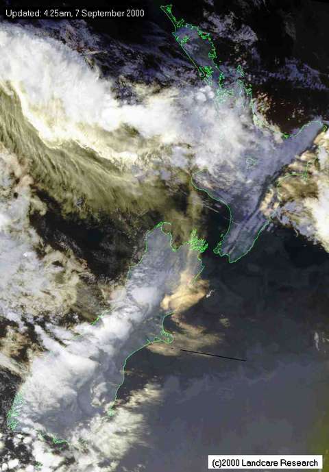
Thurs morning's close-in NOAA-14 satellite photo of NZ: (from: http://home.nzcity.co.nz/weather/satimages/hn07090.jpg )
| |
Please send any questions or comments to the site Editor |
This is: https://davd.tripod.com/NZclouds.html#top